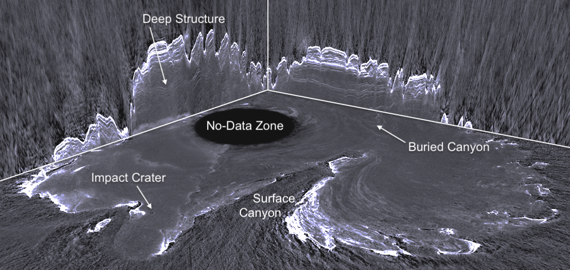
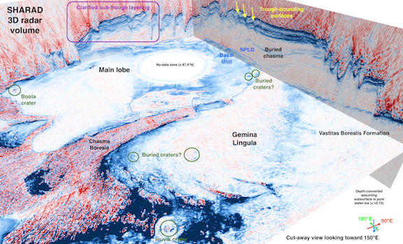
3D SHARAD Radargrams
In its orbital configuration, MRO SHARAD is able to observe the polar regions of Mars on an orbit-to-orbit basis, building up dense coverage of both polar caps in a few years. Recognizing the coverage density and building on their experience from the terrestrial oil and gas industry, Nathaniel Putzig and Frederick Foss of Freestyle Analytics and Quantitative Services adapted three-dimensional imaging techniques originally developed for seismic data to work with the MRO SHARAD data providing the scientific community with novel 3D radargrams.